The long haul north before heading up the internationally significant Dardanelles Strait – the narrow waterway that links the Aegean Sea to the Sea of Marmara was almost over.

The day before we left for the Turkish island of Bozcaada – our last stop en route to the Dardanelles – we moved from the safety of the landlocked bay, Çamlik Koyu in the Ayvalik archipelago, to nearby Cunda (Alibey) Island. This was to give ourselves a head start when we set off the next morning.

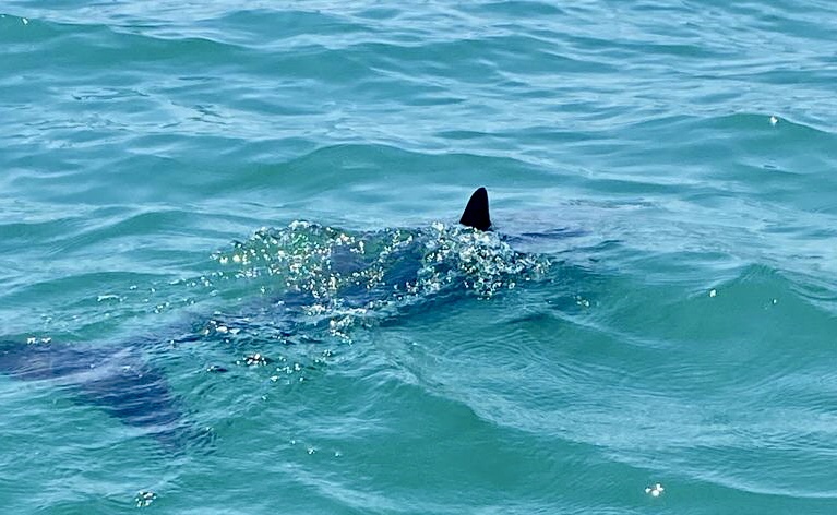
Soon after we arrived at Cunda Island, we hopped into our dinghies to explore the village ashore. On our way over John and Sue noticed a dolphin playing with the anchor chain of a motor boat.

motor boat
We caught sight of it too and went over to the boat to have a closer look. We had heard from other yachties about a lone dolphin that often likes to play around anchored and moored boats in the bay.
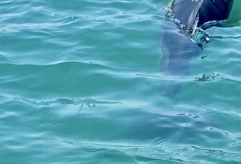
As we approached, the playful animal moved on to have a look at Sunday’s anchor chain but then disappeared again as we approached our boat. Later on that night we were woken up by thumping noises on our hull – I think it was a call to play from the dolphin but it wasn’t the right time for us sleepy people.
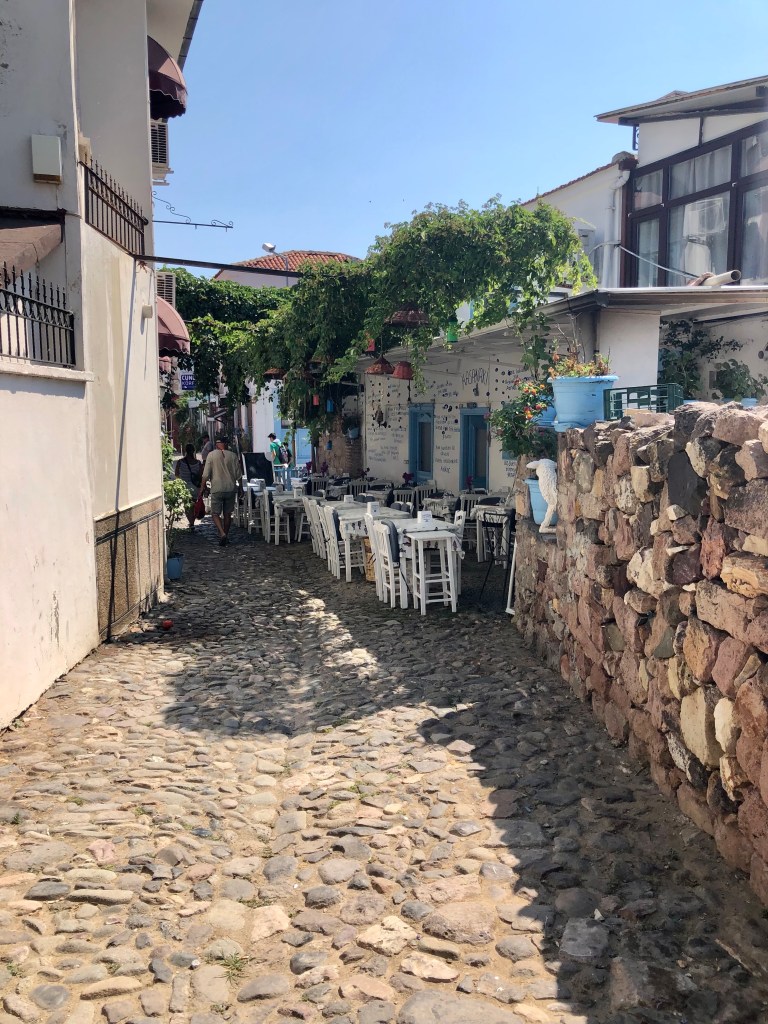
The village – which we had visited the day before with our guest Jackie for her farewell lunch – was very beautiful but the terrible history of the island involving the killing of several hundred of the Greek islanders and the displacement of many hundreds more, before the population exchange of 1923, still haunts this place.
It was an early start for us the next day – our anchor was up before 6.30 am which was unusual for us although many (maybe most?) yachties would claim that it was the “normal” time to leave!
The sea was like glass and there was a beautiful rosy pink glow as we motored out of the anchorage. “We should get up this early more often” we said. However, unless we have to, we don’t! Just not early birds I guess.

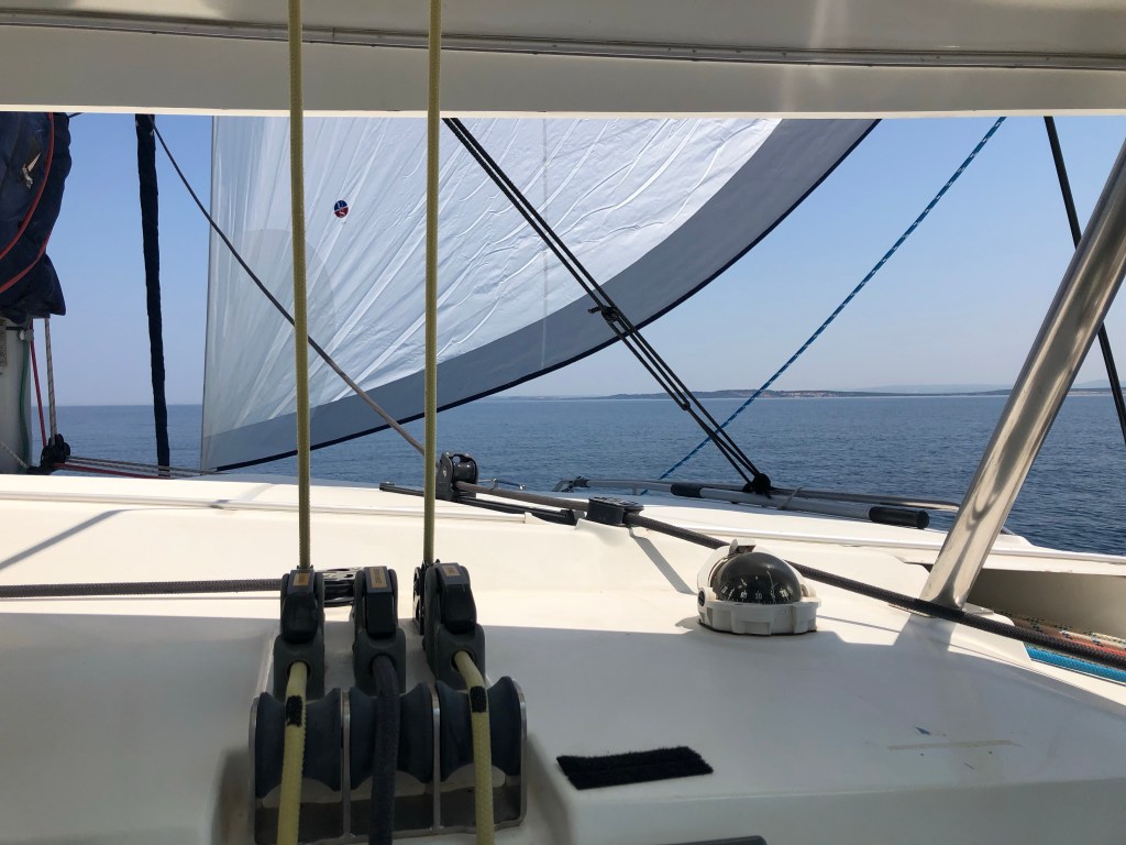
We motored most of the way to Bozcaada Island but had a bit of a sail too. Along the way there was plenty to look at – including various coastguard vessels speeding to and fro (something seemed to be going on but we didn’t find out what), and a huge cargo ship steaming across our bow (the picture below looks dramatic but we were not in danger at any point!).
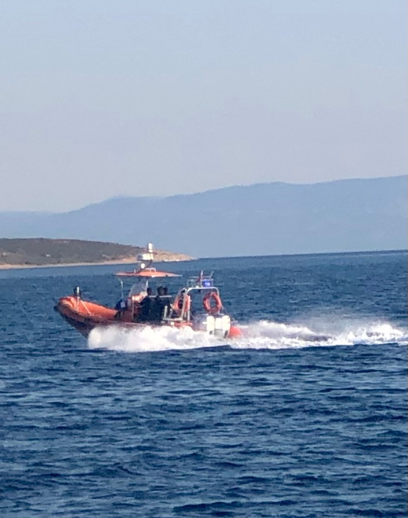
going to and fro


rather large cargo ship

In order to save a considerable amount of time, we cut the corner and sailed into Greek waters for a while, just skirting the north of the island of Lesbos. Apparently this is quite acceptable – both the Greek and Turkish authorities appear to turn a blind eye to boats taking the short cut.

As we sailed close to Lesbos I really wished we could pop in for lunch in a Greek taverna but that just wasn’t possible.
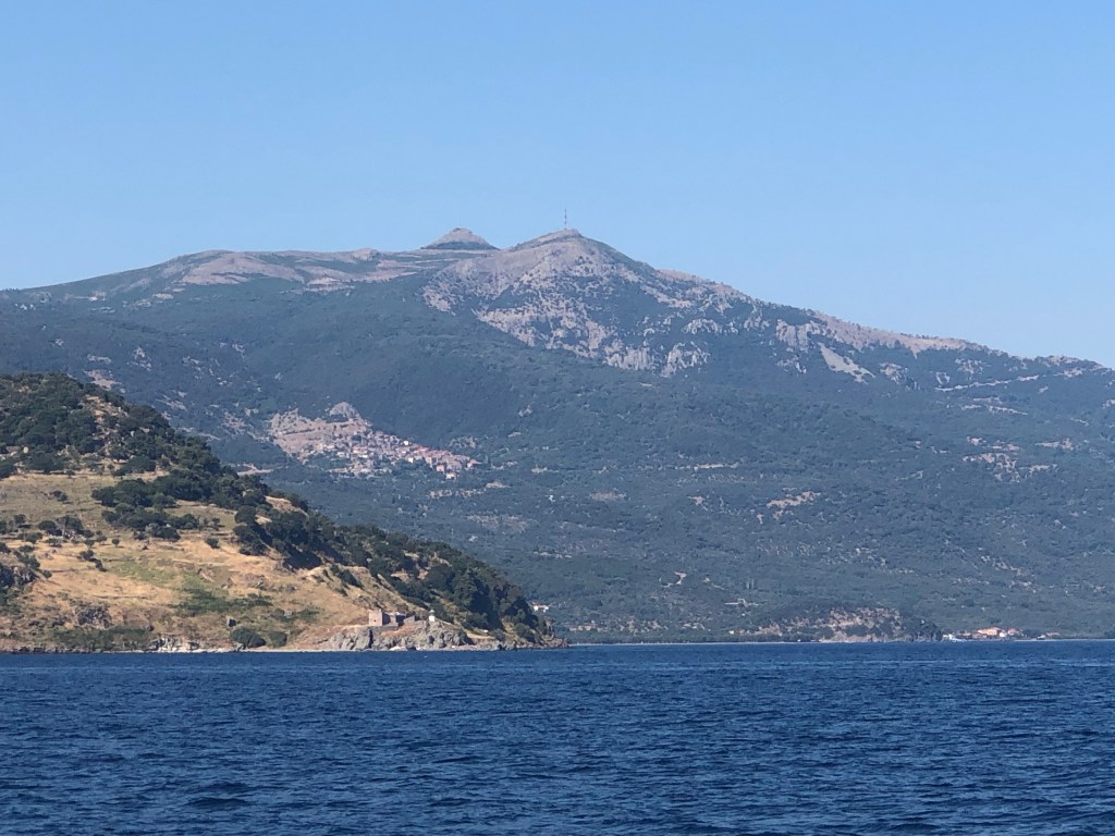


lunch in a Greek taverna!

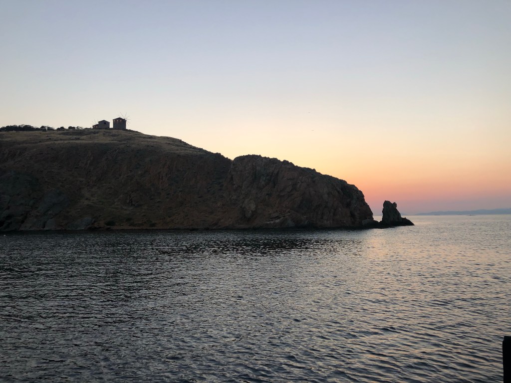
We approached Bozcaada mid-afternoon and judging by the large ferry that we narrowly avoided, it is a popular holiday destination.

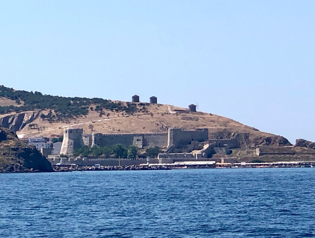
The first thing we noticed were the Greek windmills on the cliff top (Boscaada was previously known as the Greek island of Tenedos famed for being the place that the Greek fleet hid while a small number of their troops entered Troy hidden in the Trojan horse).

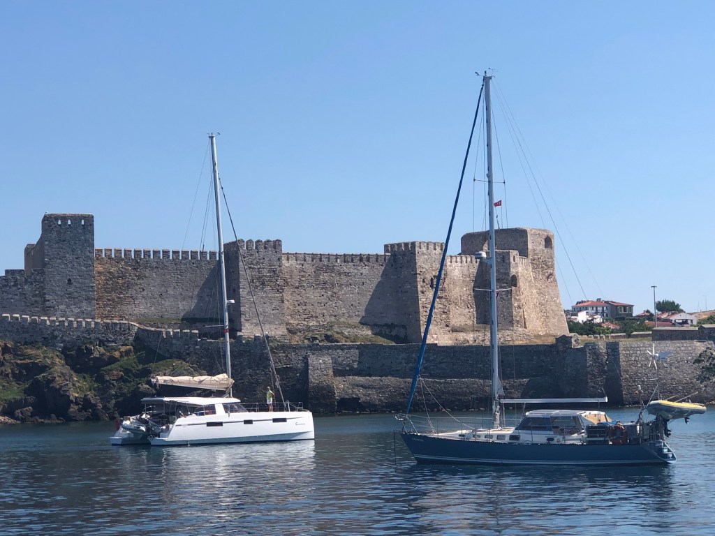
We also had a great view of a very fine castle which dates from 1455 but had been remodelled in the 17th and 19th centuries.
Our friends from Liberte, Liz and Steve, who had left Cunda even earlier than us, were already anchored and settled by the time we arrived in the compact anchorage.

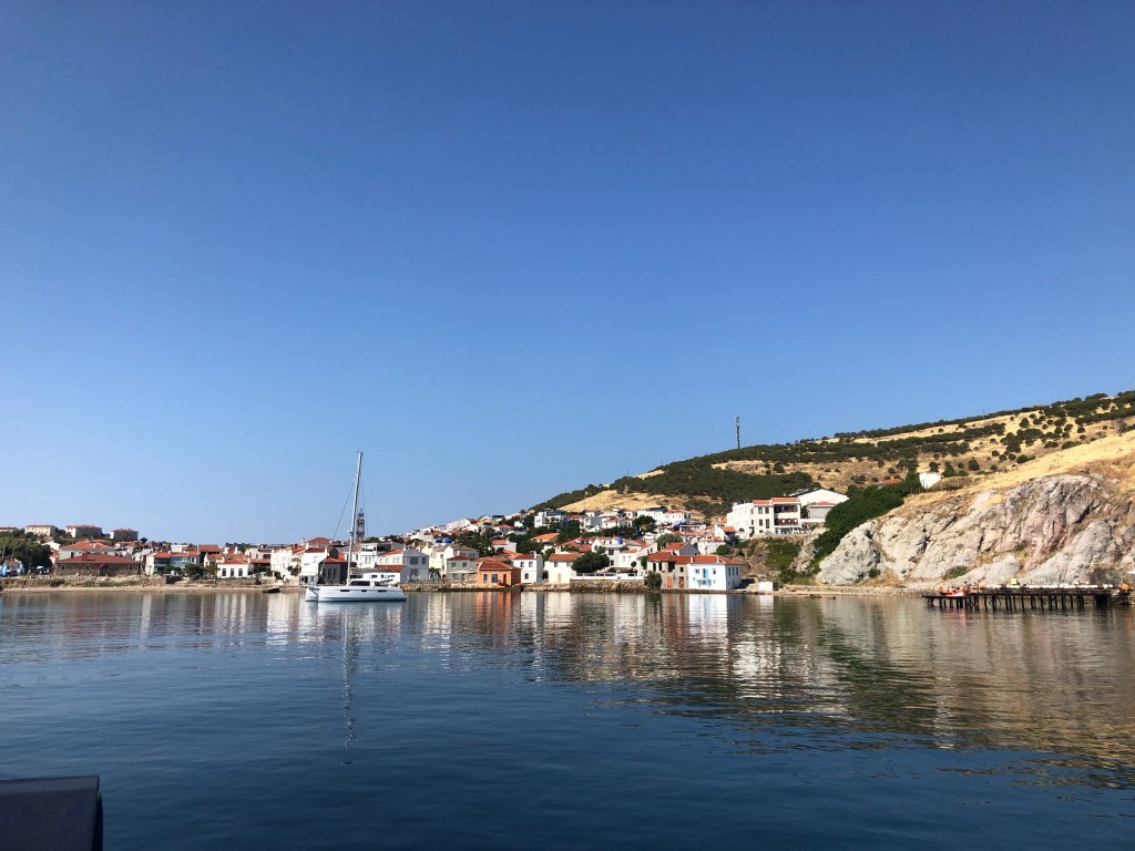
Before long we were also snugly anchored and ready to go and explore the town which is the only settlement on this 39.9 square km (15 square miles) island.
Despite its size, the island has always been strategically important due to its proximity to the entrance to the Dardanelles. It has had a rich history with many invasions and has been under the control of a succession of powers over the centuries.

During the 1923 population exchange the Greeks in Bozcaada were (unusually) allowed to stay and the majority of the population was Greek until the late 1960s/early 1970s, when a large proportion of them left the island.
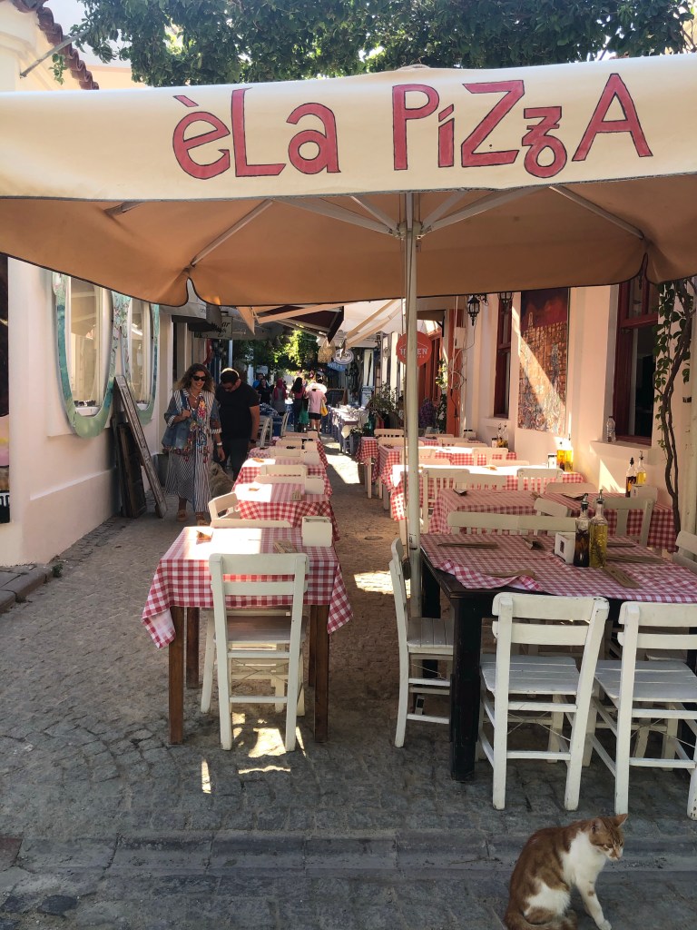
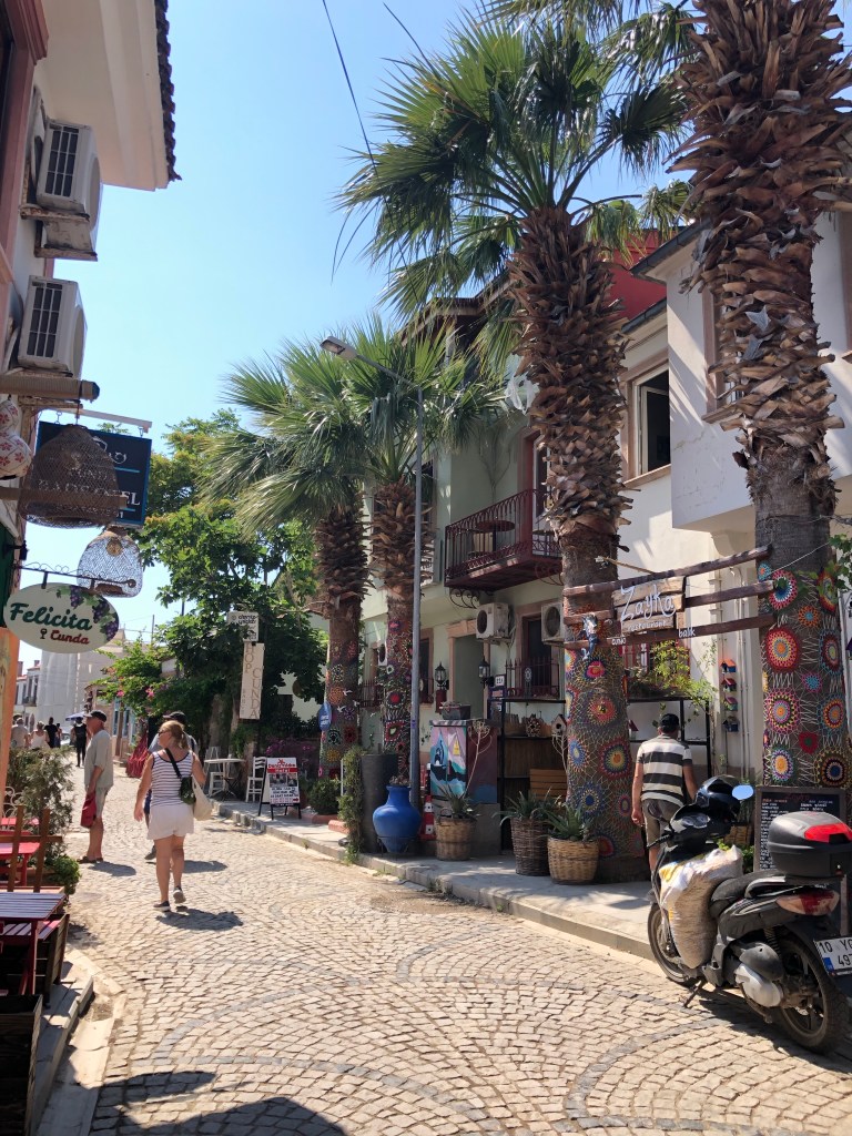
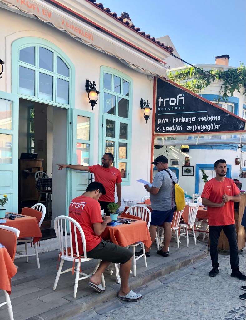
Walking through the streets you could still see and feel the Greek influence. There were many restaurants and lots of wine shops.We learnt that Boscaada is famous for its grapes and has a burgeoning wine industry.

We stopped for a quick tasting at a “cellar door”- the varieties we selected weren’t great so we didn’t end up stocking up our wine cellar on this occasion.
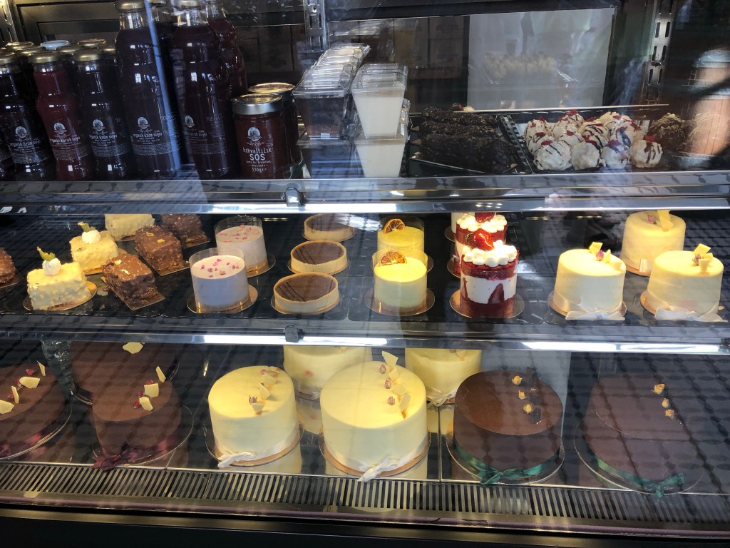
cakes looked delicious
Later on we (Jonathan and I and our sailing buddies Sue and John) met up with Liz and Steve and had an enjoyable dinner at one of the many local restaurants.


Due to the possible threat of strong northerly winds coming and the hope of having a decent sail before they did, Jonathan and I decided to get going the next day while Sue and John made the decision to have a rest and catch up with us the following day.

We had a good trip but we were intrigued by the strange currents around the entrance to the Dardanelles that slowed us down by almost a third of our normal speed.

It was quite a thrill to “turn right” into the famous Strait which apparently is considered “one of the most hazardous, crowded, difficult and potentially dangerous waterways in the world.” (Wikipedia)

We didn’t really find it hazardous and it was much less busy than the Singapore Strait which was definitely a little daunting! (Read all about crossing it here: https://dotsailing.wordpress.com/2017/07/06/nail-biting-experience-through-singapore-strait/ )

Although the strange currents persisted, alternately slowing us down and then speeding us up again, we pottered along quite well – now under motor (sailing in the Dardanelles is not allowed unless permission has been granted).


Sunday was heading for Çanakkale, a small seaport on the southern shore that sits at the narrowest point of the Dardanelles and is the nearest major urban centre to the ancient city of Troy.
Along the way we sailed past the Gallipoli peninsula on the northern shores of the strait. We could see in the distance the impressive war memorials to the fallen soldiers of the Great War. One of them commemorates the service of about 253,000 (56,643 of whom died) Turkish soldiers who participated at the Battle of Gallipoli (1915–1916). Another commemorates the Anzac troops (11,025 who died).


The Gallipoli peninsula is actually the point where the continent of Europe ends while on the other side of the strait the beaches constitute the start of the continent of Asia.
Coming into Çanakkale we were impressed by the huge figure of a 1915 Turkish soldier carved in white on the hillside. In one hand he holds a rifle while his other arm is outstretched towards an inscription engraved into the hillside. Translated, the words form the beginning of the famous Turkish poem by the Turkish poet, Necmettin Halil Onan. The poem starts “Stop wayfarer! Unbeknownst to you this ground You come and tread on, is where an epoch lies; Bend down and lend your ear, for this silent mound Is the place where the heart of a nation sighs.”


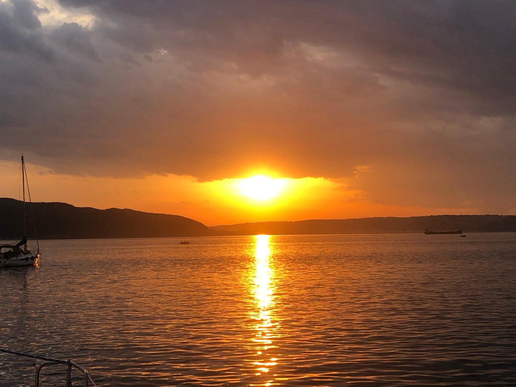
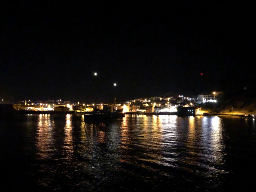
glorious, sunset


Leave a comment